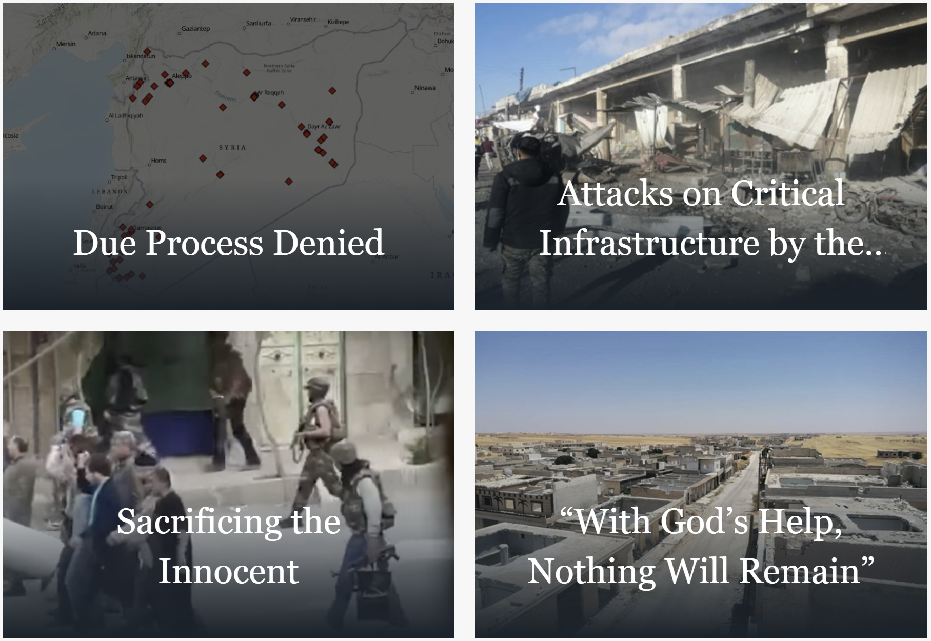
This collection of interactive GIS reports enhances the analysis of war crimes and crimes against humanity committed during the Syrian conflict.
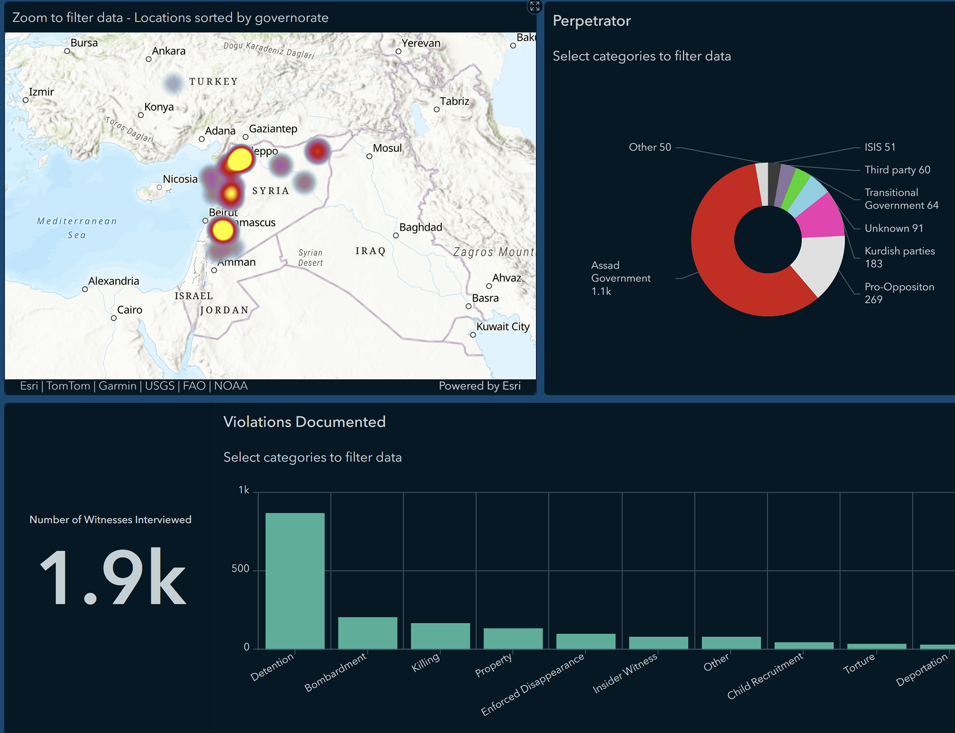
I designed this dashboard to visualize interviews collected from witness of atrocities in Syria. The dashboard is interactive and users can easily filter data by violation type, perpetrator, gender of interviewee, and geographic location.
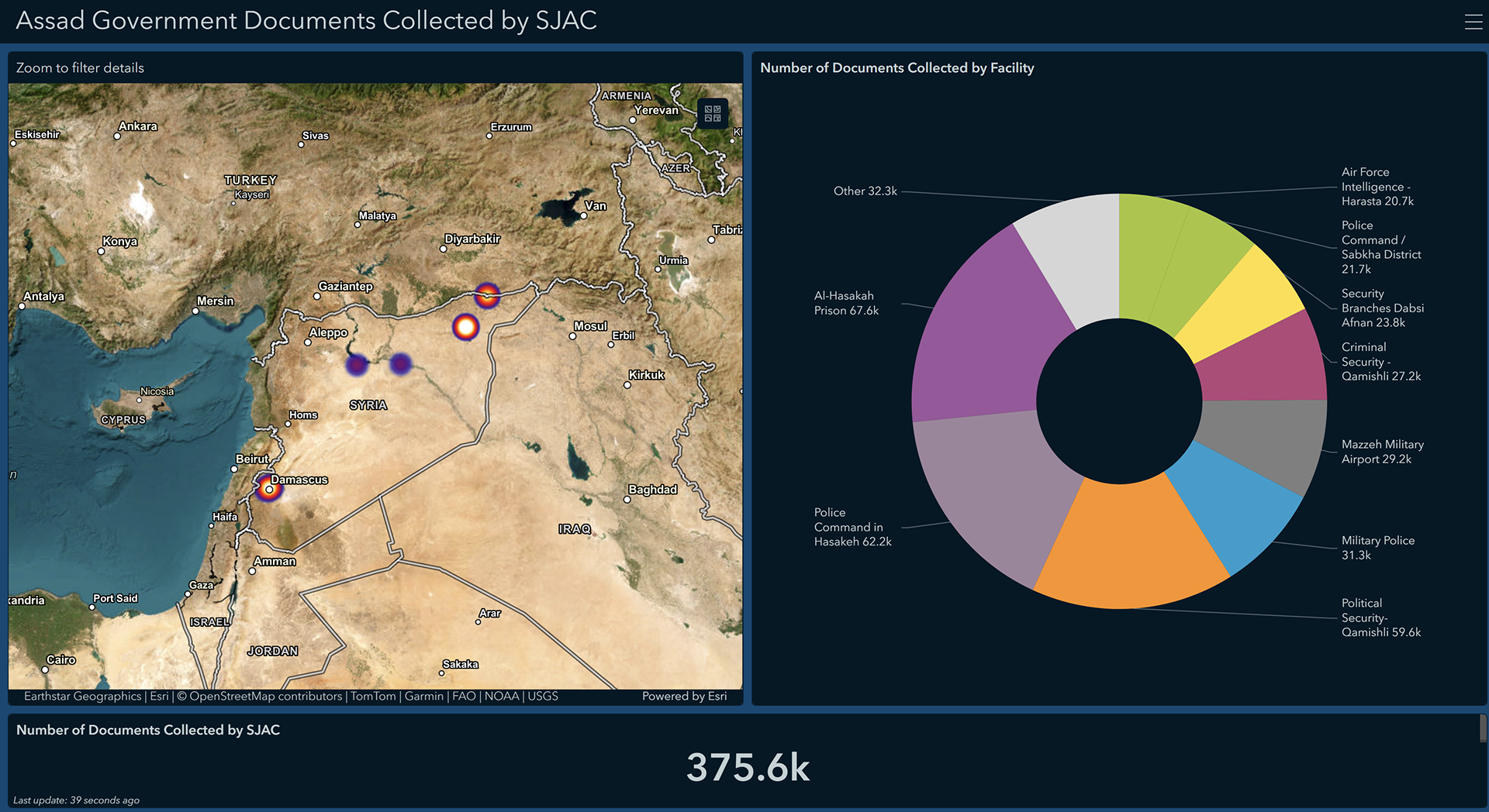
This graphic shows where Assad government documents were collected inside Syria after the government fell. It was used to raise support from donors and supports to allow additional collection and analysis of documents.
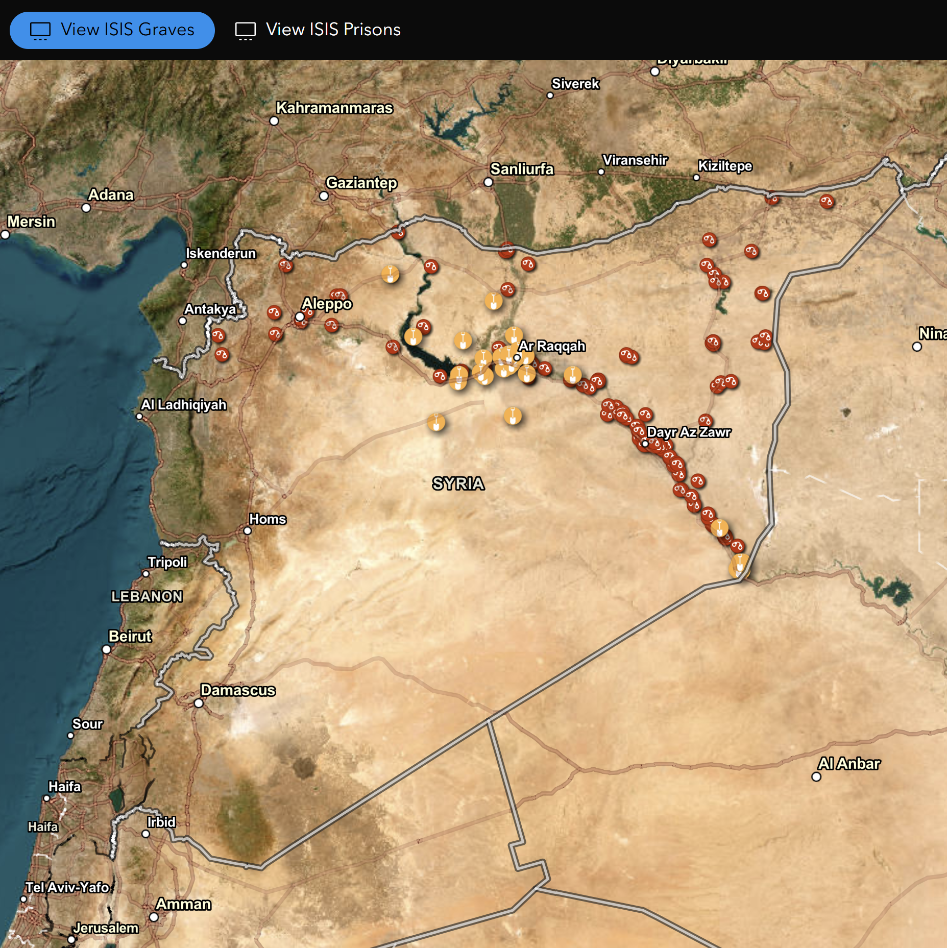
This map tracks known ISIS mass graves and prisons created in Northeast Syria. The map was used to help ongoing investigations into missing persons and forensic identification of remains.
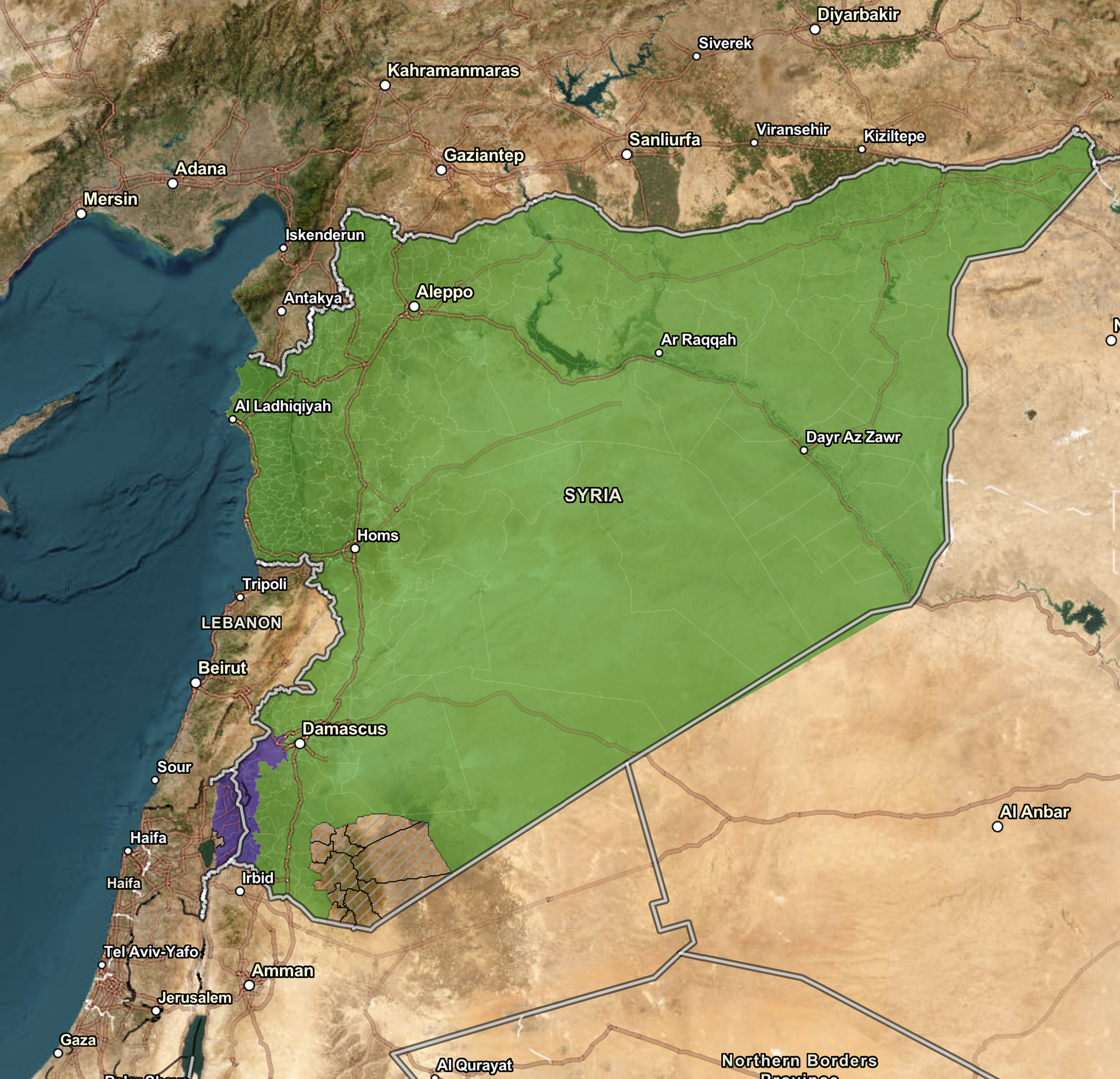
This quarterly report uses interactive maps to highlight ongoing human rights violations committed across Syria. The report focuses on the visual and geographic elements of these violation to identify hotspots of activity.